Itinerary Ideas
We designed itineraries that showcase some of our favorite geosites combined with popular tourist attractions.
We hope they inspire more people to experience all the charm that Sado Geopark has to offer!

The History of the Kuninaka Plain and Lake Kamo, From the Past to the Present day -Local Specialties, nurtured by the earth-

- Beginners
- Families
- 1 – 10 people
- 1 – 2 hours
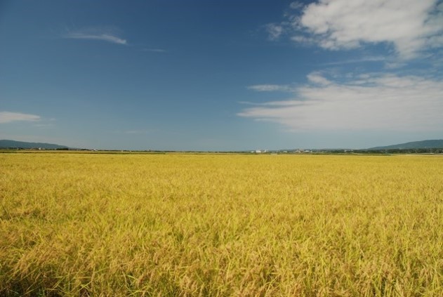
Let's ponder one of the mysteries of Sado Island – what caused the wide, flat, Kuninaka plain to form at its center?
Sado Island has two distinctive mountain ranges – Osado in the north and Kosado in the south, cradling the wide open Kuninaka plain and Lake Kamo in between. There is a close relationship between the formation of the plain and the formation of Lake Kamo. By the end of this course, participants will understand how Kuninaka Plain and Lake Kamo were formed, and how generations of residents have cultivated the local specialties of Sado Island, such as rice.
 Geopark Interpretive Panel
  Signs
Signs Bus Stop
Itinerary
- Sado Island Geopark Information Center
- 1Shiizaki Observation Deck
- 2Persimmon Farm
- 3Kaiden Rokku
- 4Oyster Hut
Sado Island Geopark Information Center
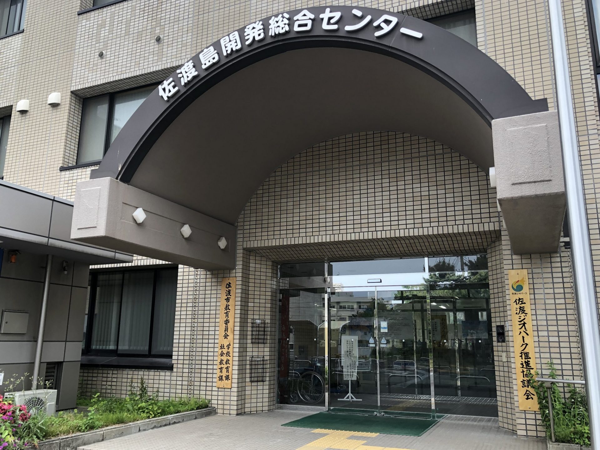
Sado Island Geopark's base facility
Sado Island Geopark’s base facility and the administrative office of the Sado Geopark Promotion Council. Stop by to learn more about how Sado Island was formed. A model of the seafloor topography of Sado Island and its surrounding area is also on view.
1Shiizaki Observation Deck
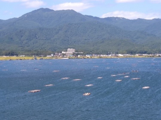
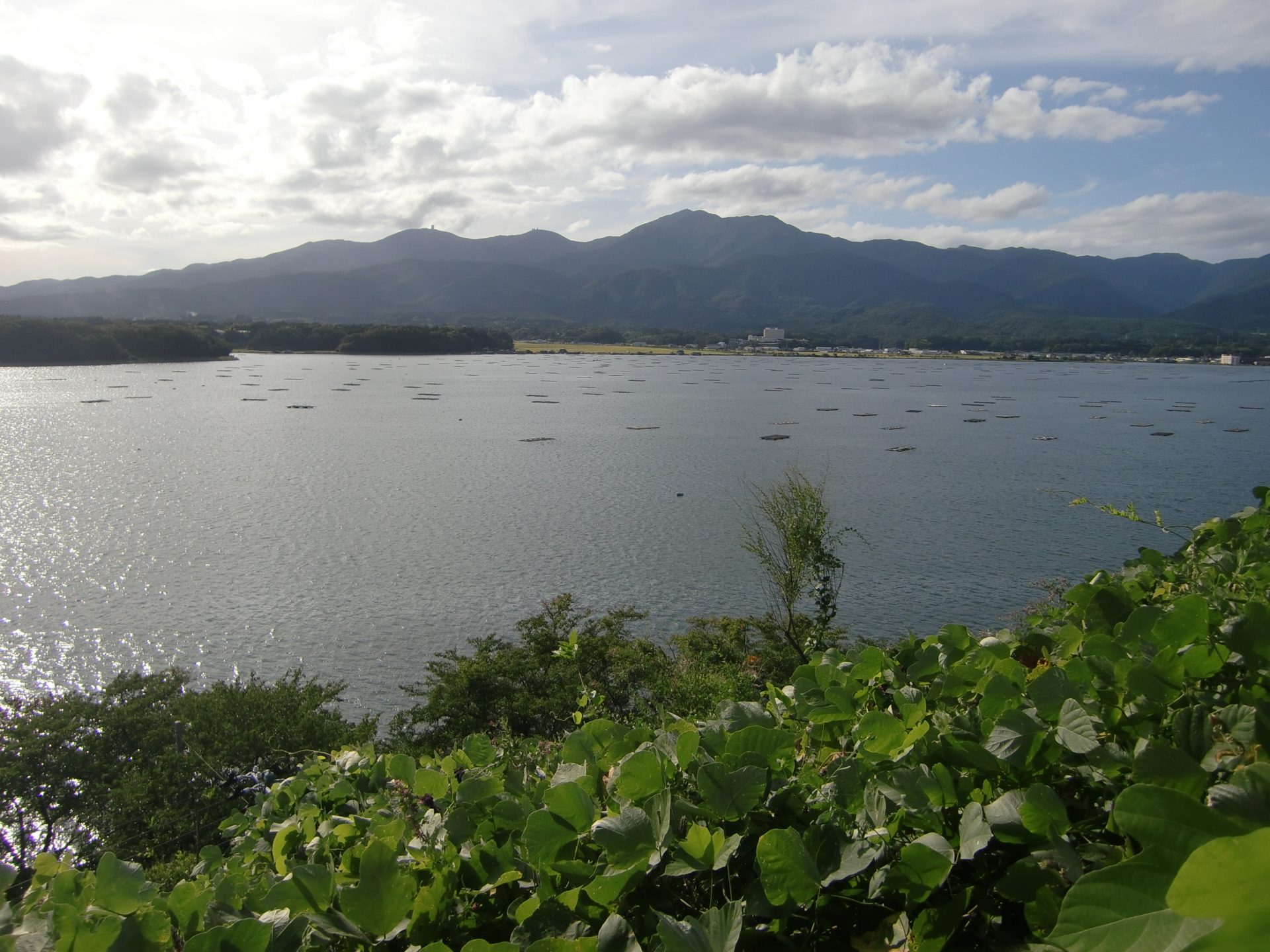
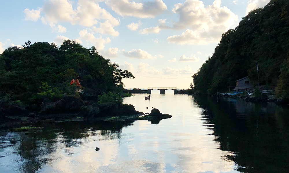
View a mirror-like lake reflecting the Osado Mountains.
The Shiizaki observation deck boasts a spectacular view of Lake Kamo, the largest lake in Niigata prefecture. Here you will learn how Ryotsu town was formed and more about the fishery industry of Lake Kamo.
2Persimmon Farm
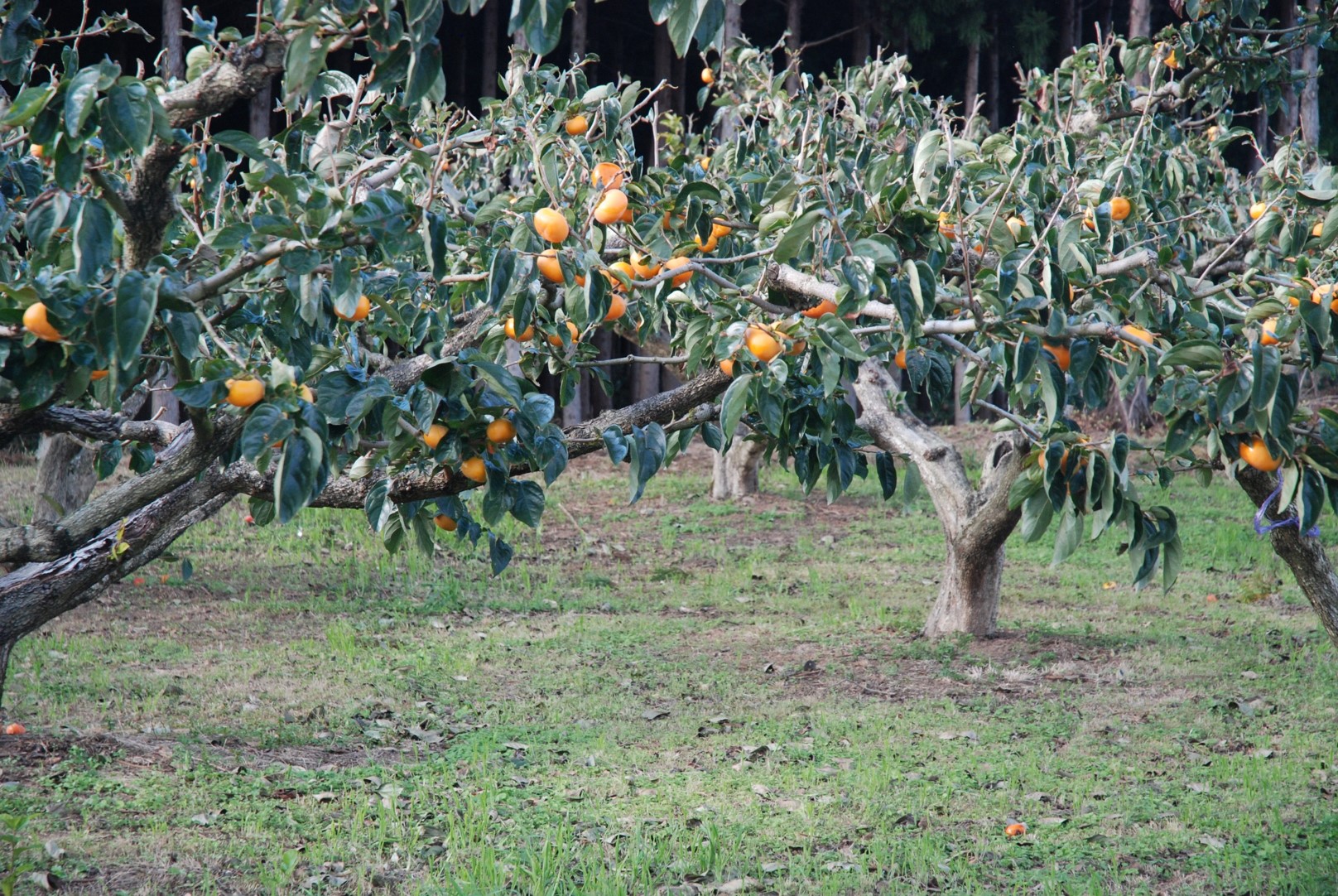
Of all the fruits, why persimmons?
When you think of agriculture on the Kuninaka Plain, what comes to mind? First and foremost, rice. Along with rice, you’ll notice that cultivation of persimmon also flourishes. What is the reason for this?
3Kaiden Rokku
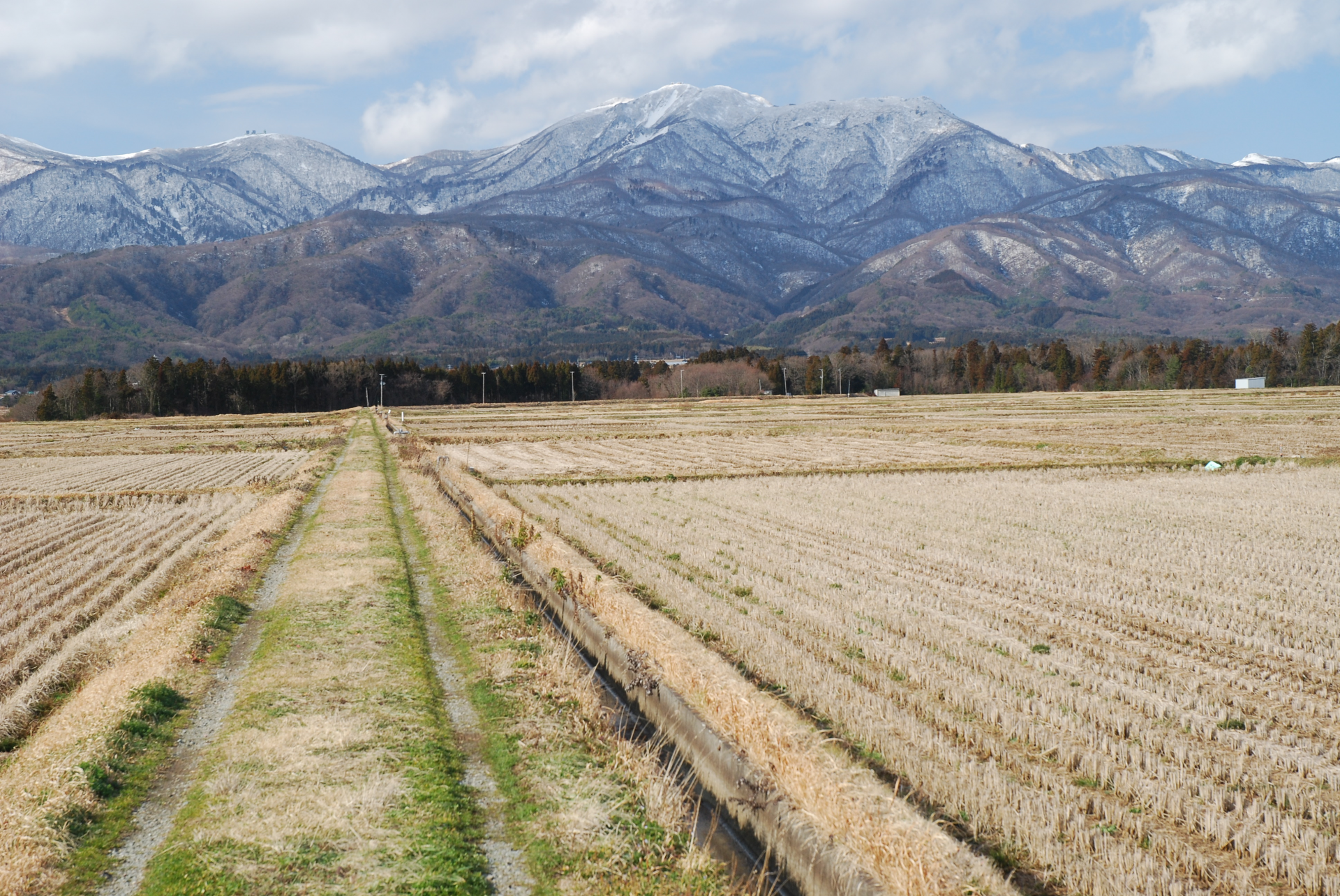
Why are there rice fields where there is no river?
Rice fields were developed here from the Taisho to Showa periods, but rivers typically necessary to irrigate rice fields are not found around here. Here you can discover how the rice fields were developed using well-planned systems of irrigation.
4Oyster Hut
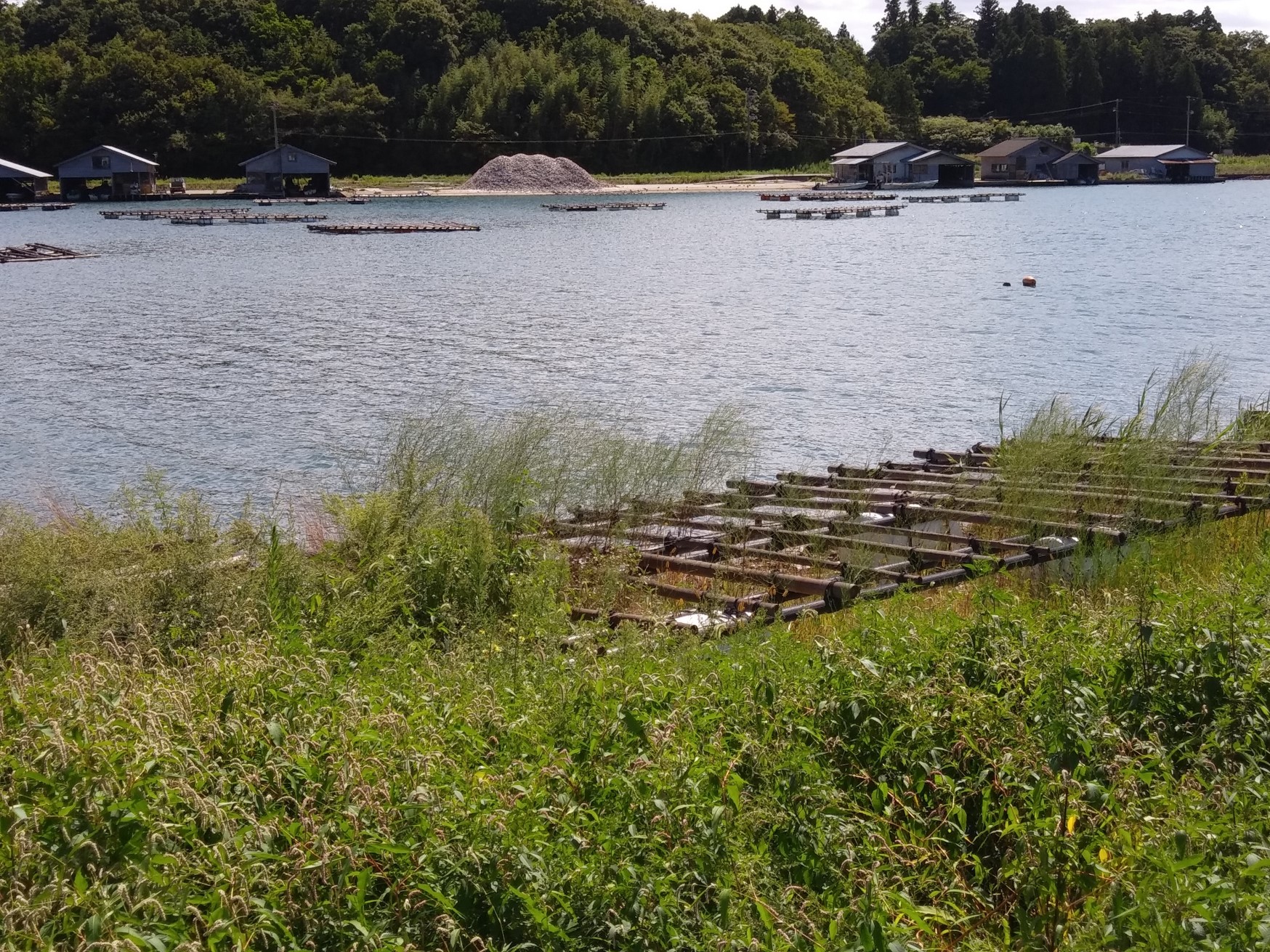
Oyster processing place
Visitors will observe oyster huts where oysters are farmed on Lake Kamo, and learn how the farmed oysters are processed by hand.
From our geo-guide
Get ready to feel the vastness of the Kuninaka Plain! If you're lucky, you may encounter the Japanese crested ibis during this course.


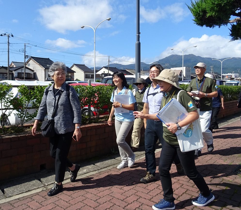
Take a stroll in a geopark!


Take a stroll in a geopark!

