
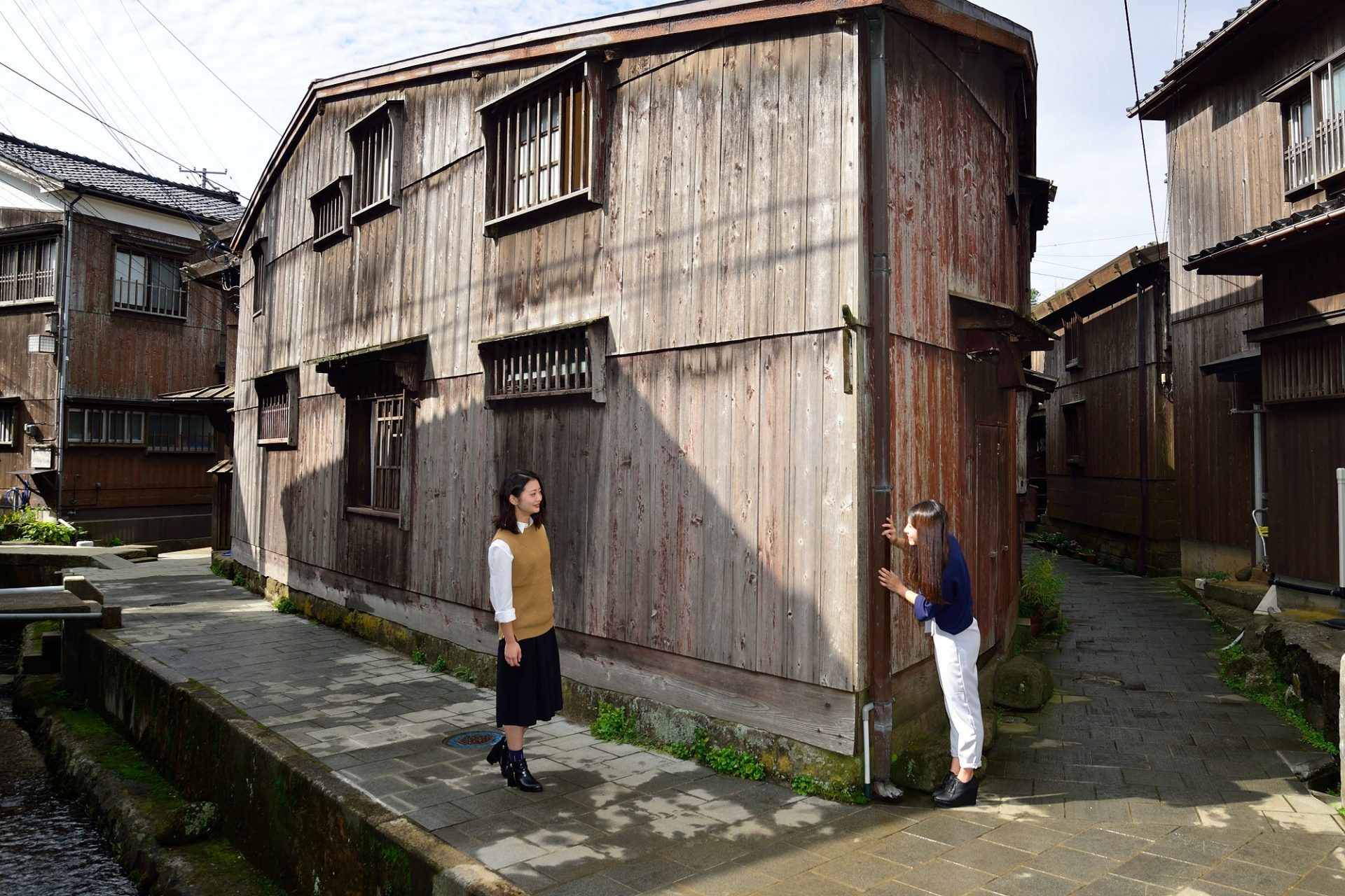
Itinerary Ideas
We designed itineraries that showcase some of our favorite geosites combined with popular tourist attractions.
We hope they inspire more people to experience all the charm that Sado Geopark has to offer!
- Beginners
- Families
- 1 – 10 people
- 4時間
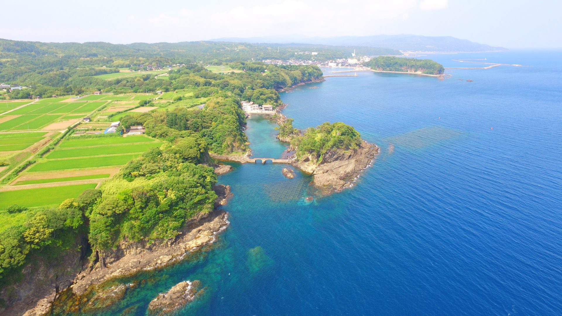
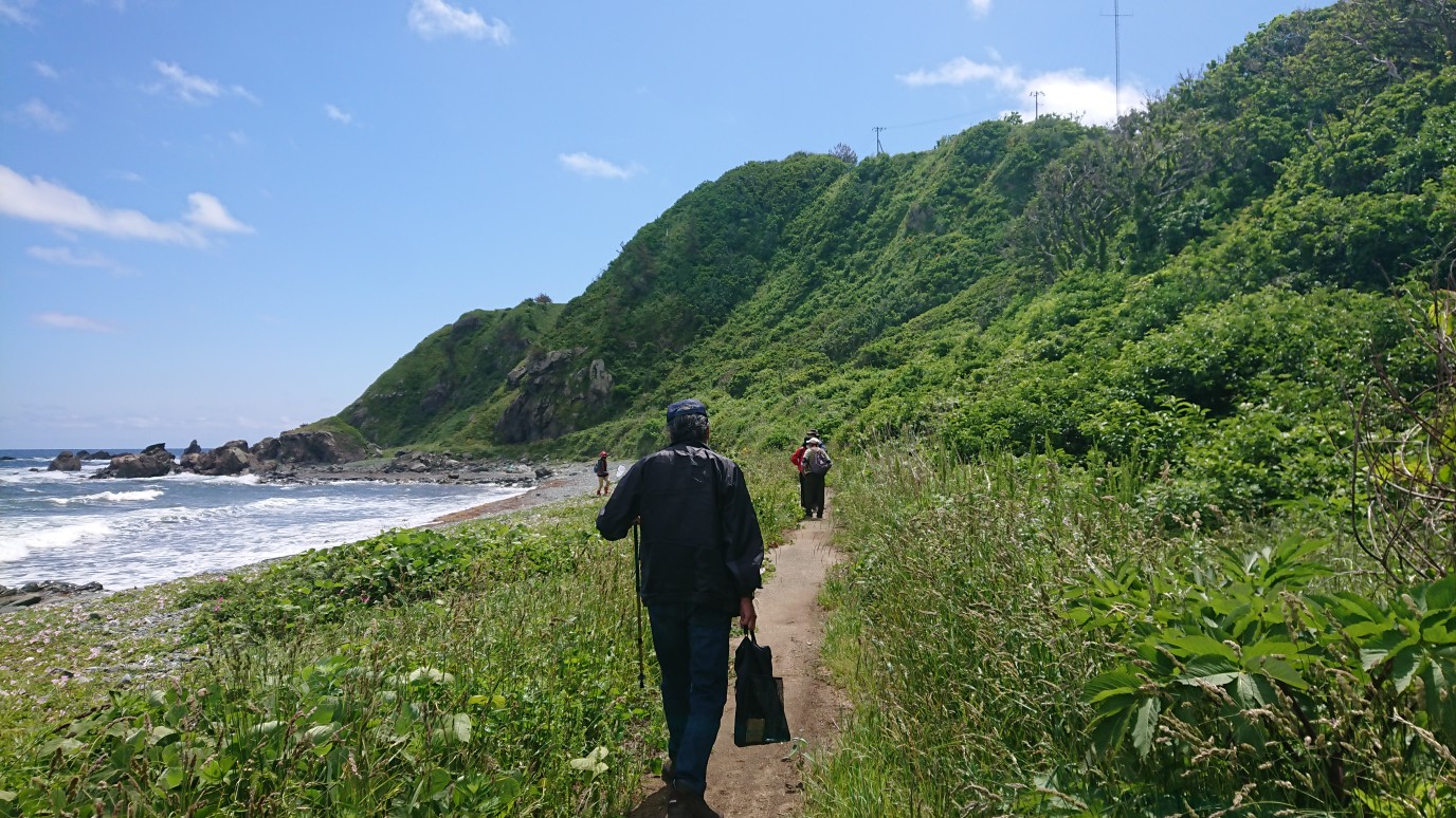
Ogi Peninsula Round Trip Route
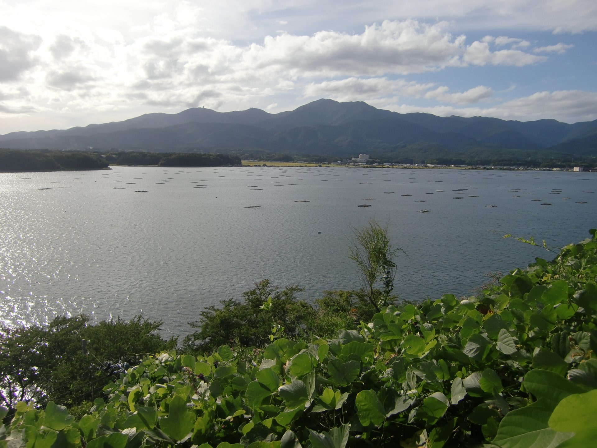
Approximately 13 million years ago, large-scale volcanic activity occurred on the floor of the Japan Sea. The black lava that erupted during this time formed the land of the Ogi Peninsula. The unique landscape created by uplift and the erosion of the peninsula has been designated a national natural monument and a place of scenic beauty. Enjoy this magnificent scenic landscape. Wear comfortable shoes and clothing when walking on the coast because rocks are exposed in many places.
 Geopark Interpretive Panel
  Signs
Signs Bus Stop
Itinerary
- Marine Plaza Ogi (Minami Sado Tourist Information Center)
- 1Yajima・Kyojima
- 2Shukunegi Coast
- 3Chojagabashi Bridge
- 4Sawasaki
- 5Miko iwa Rock
- 6Kuguri iwa Rock
Marine Plaza Ogi (Minami Sado Tourist Information Center)
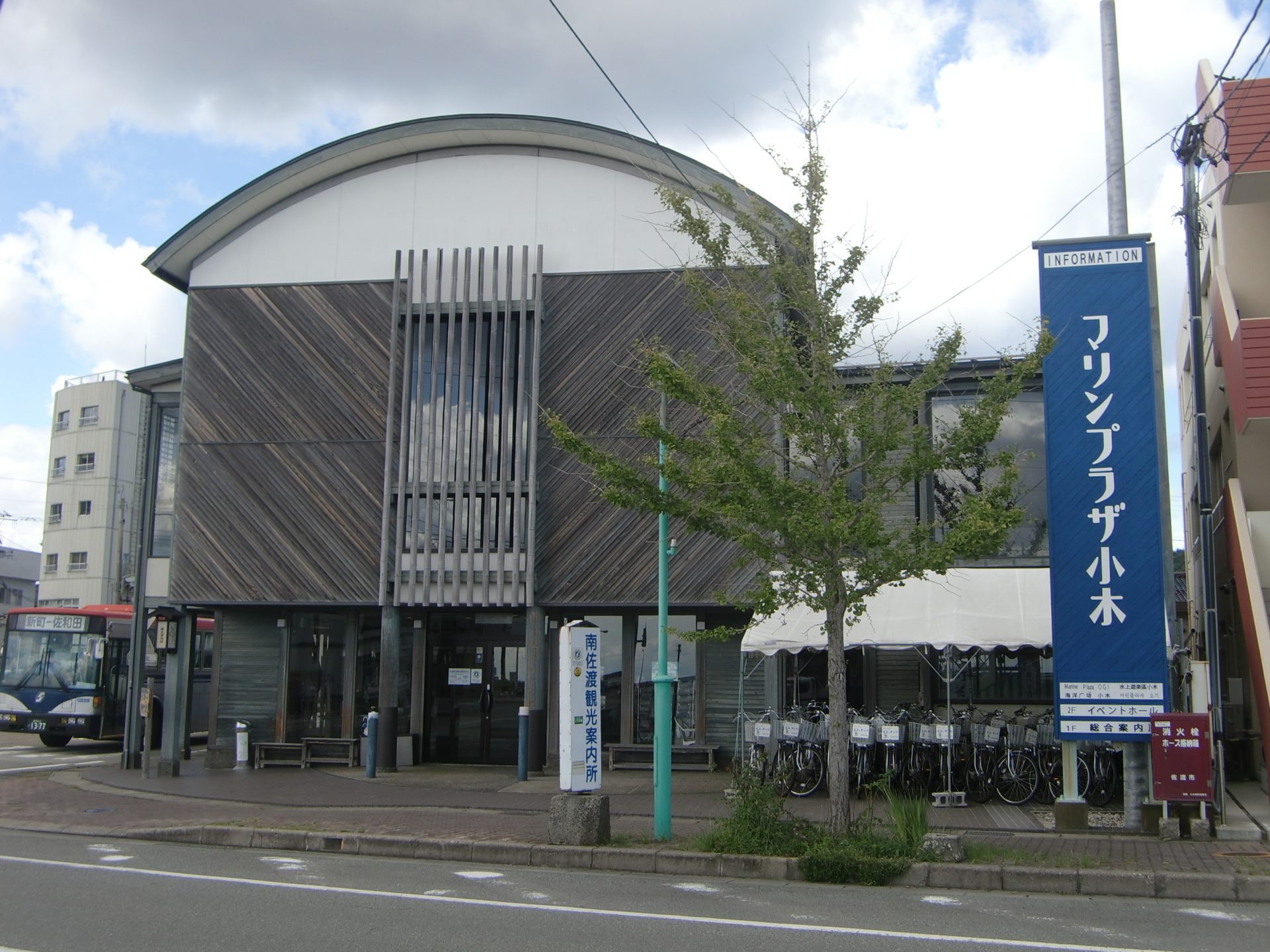
Ogi Peninsula Area Tourist Information Center
Get all the information you need about the Ogi Peninsula area. A floor map shows the location of geosites of the area, giving you an idea of the route.
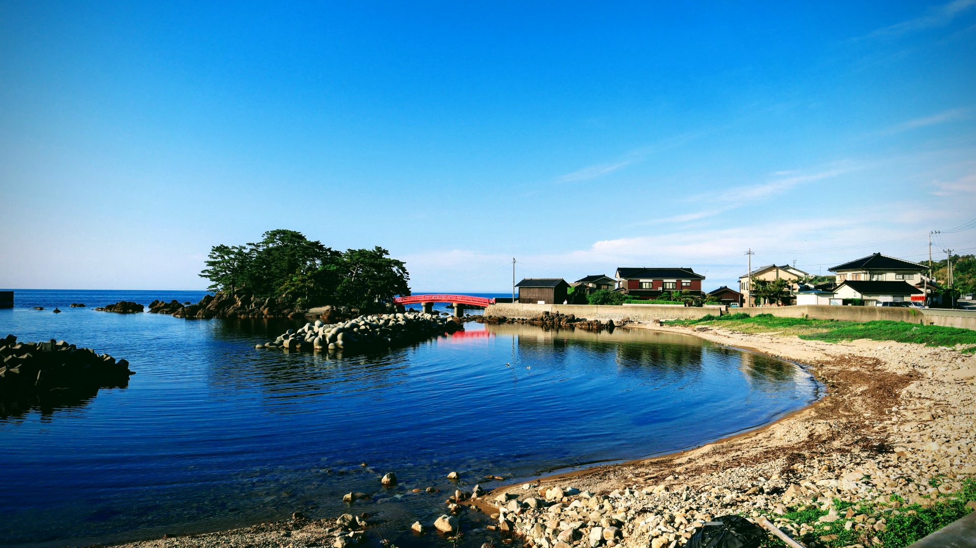
1Yajima・Kyojima
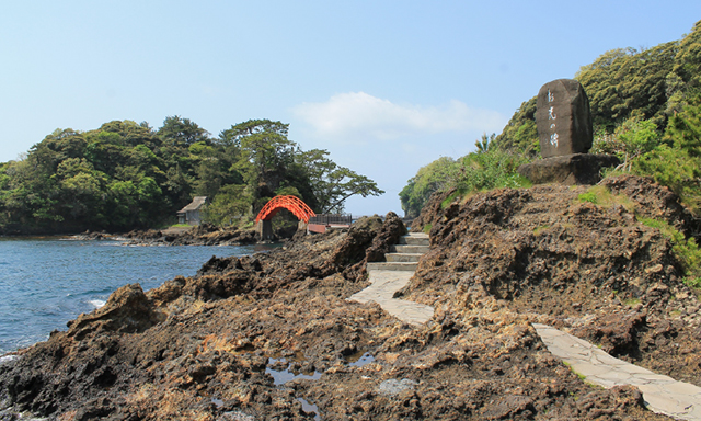
Legendary island connected by a red bridge
Yajima was named as such because people of the area harvest high quality bamboo to make arrows (“ya” means arrow and “jima” means island in Japanese). As for Kyojima, its name came from the story of a disciple of Nichiren. The disciple, named Nichiro, was carrying a letter to release Nichiren when he was caught in a storm and drifted ashore to the island, where he spent the night.
※ The island is currently inaccessible due to shoreline erosion.
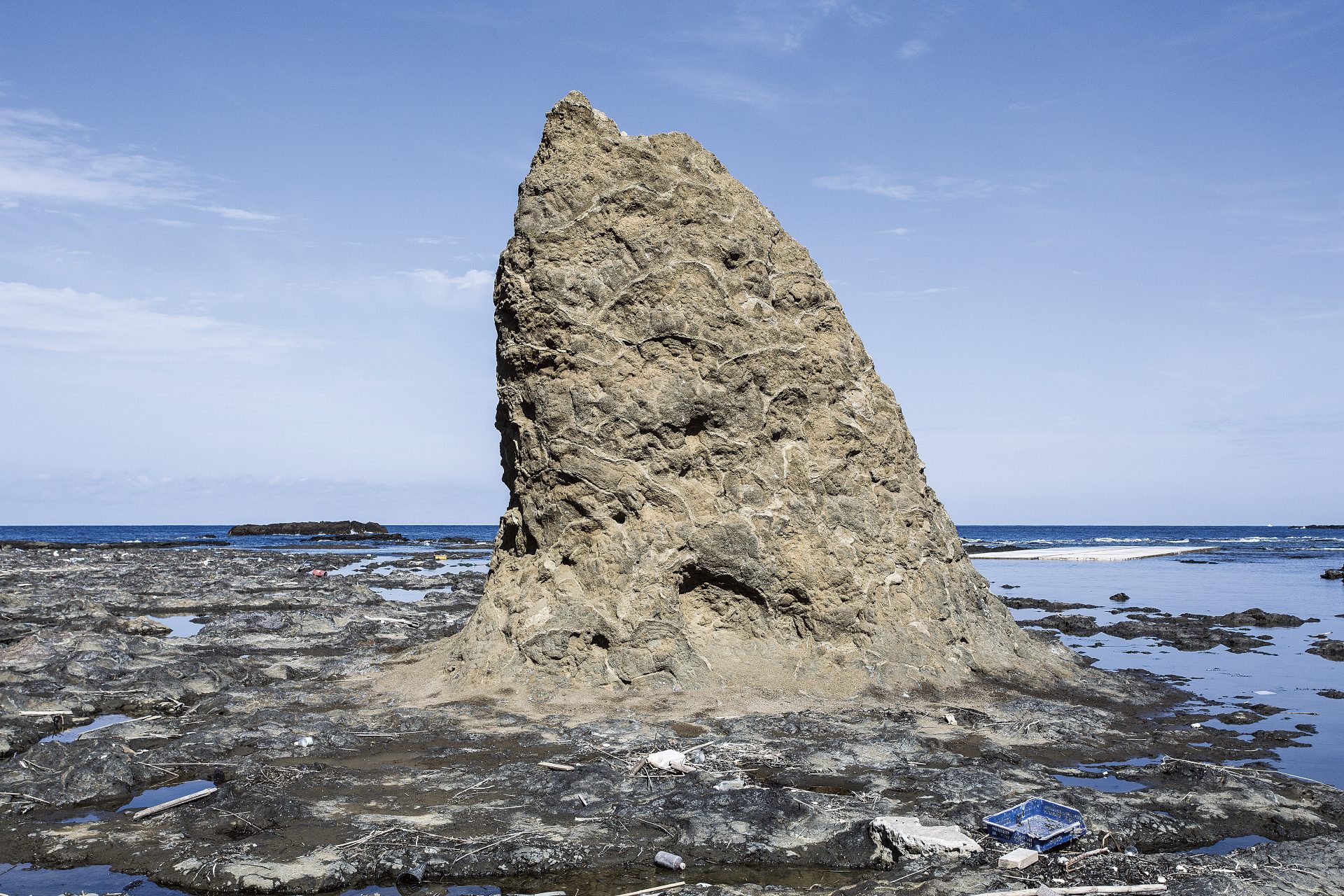
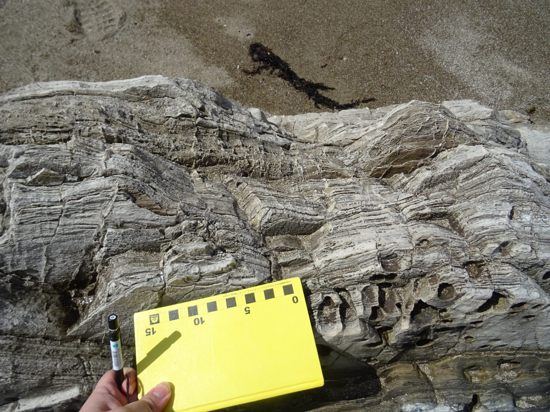
2Shukunegi Coast
Are we on Mars? Explore the landscape of this reddish-brown uplifted wave-cut platform
Approximately 13 to 14 million years ago, submarine volcanoes were active on the Ogi Peninsula. The Shukunegi Coast was formed by stones and volcanic ash ejected from the deep undersea volcanoes. This volcanic activity uplifted the land, creating the landforms we see today.
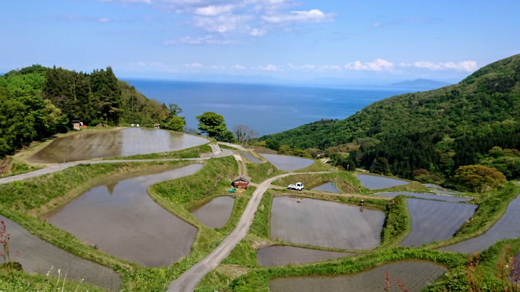
3Chojagabashi Bridge
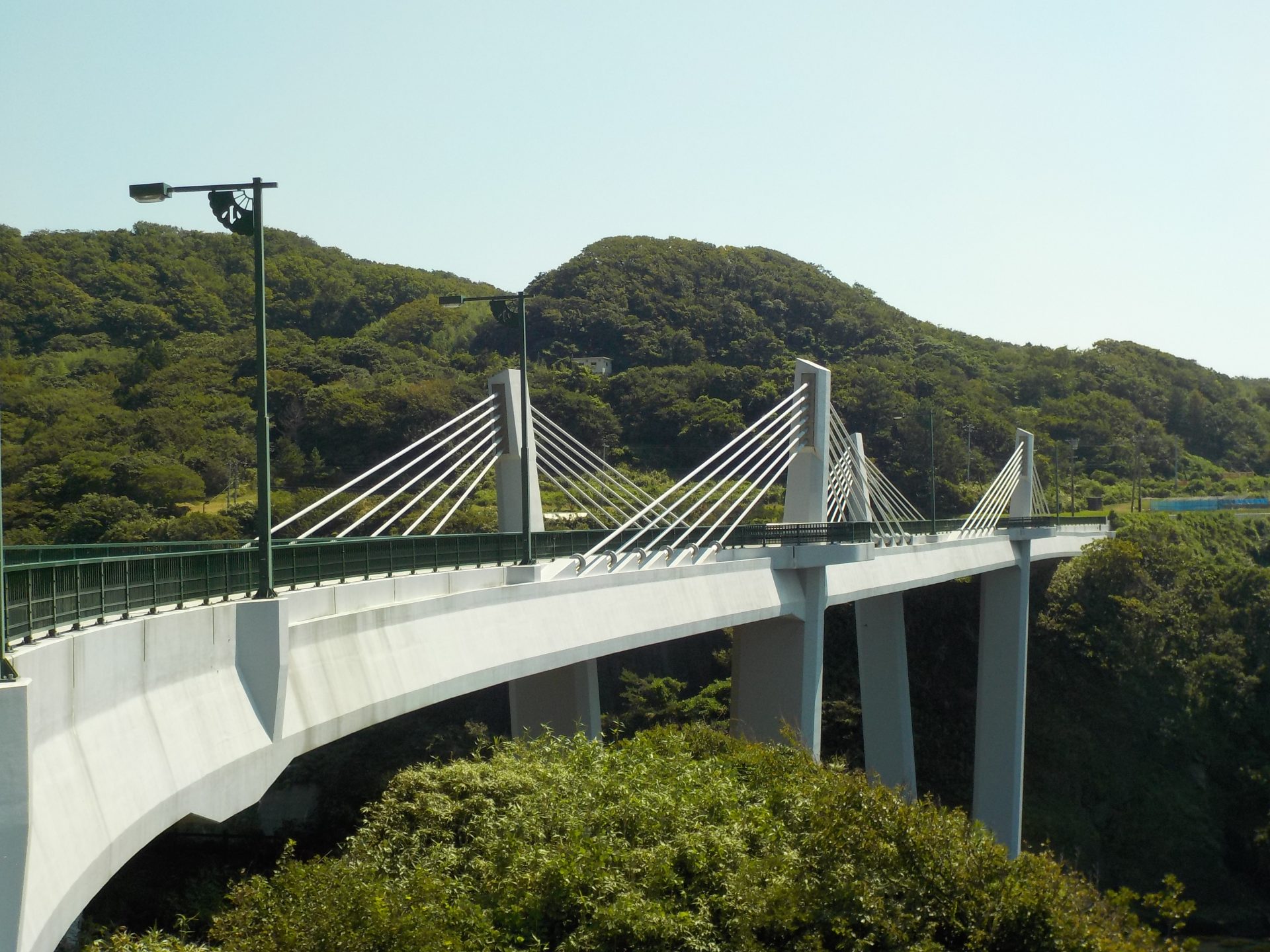
Walk 40m above sea level
The bridge was built 40 meters above the cove of Fukaura. From the bridge, you can see the cobalt blue sea, the coastline formed by the uplift of black lava from the seafloor, and the terraced rice field landforms.
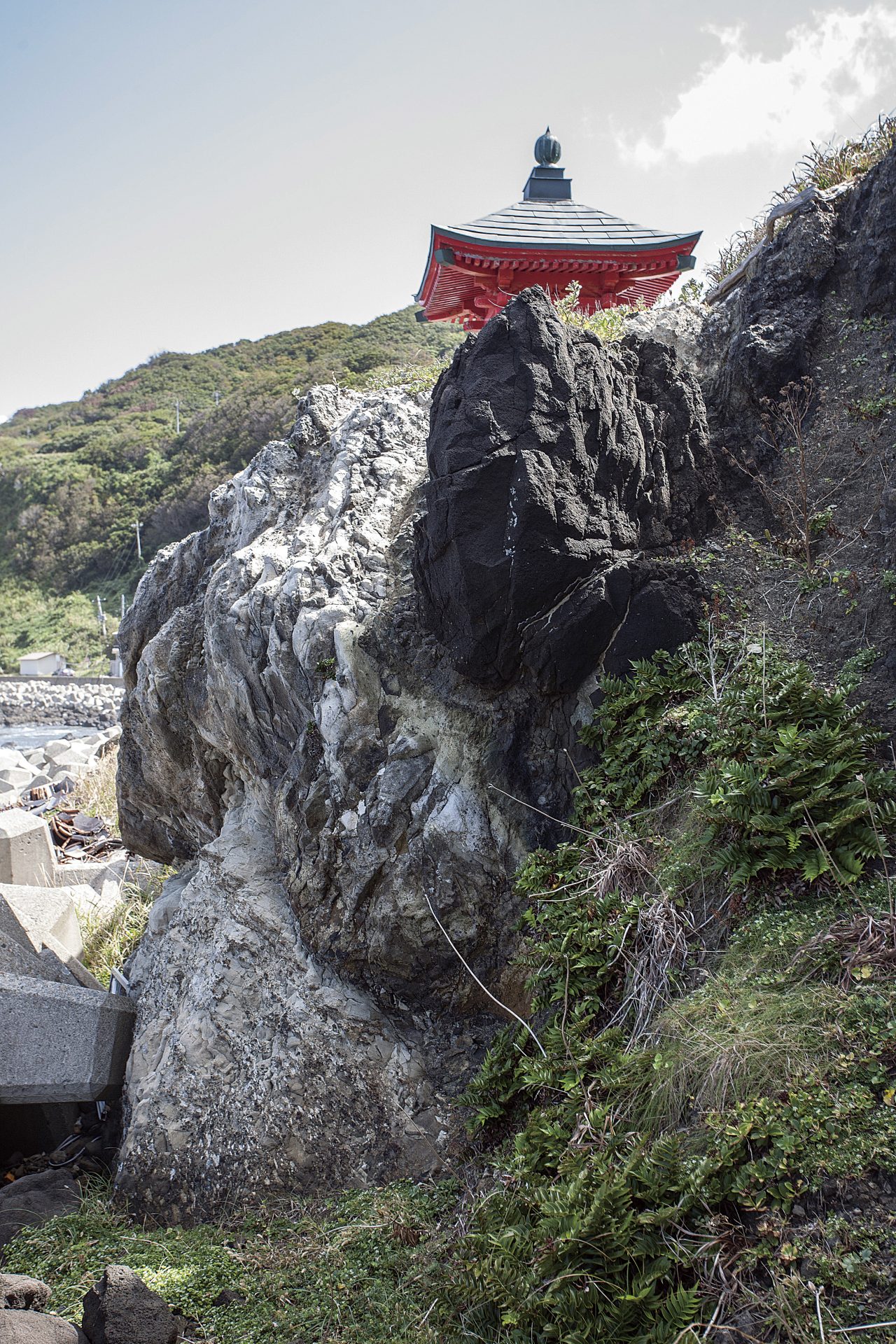
4Sawasaki
Sawasaki Lighthouse and Takenoko iwa Rock
This lighthouse is located at the westernmost tip of Sado Island. The flat Sawasaki coast is part of the scenic Sado Ogi Coast. It is made of lava, evidence of undersea volcanic activity. Takenoko Iwa, bamboo shoot rocks, can also be found here. Please keep a certain distance from the cliffs because there is a risk of rock fall.
5Miko iwa Rock
Black rocky mountain with well-developed columnar joints
Many olive colored peridots can be found in this rock.
Miko iwa Rock was formed when magma slowly cooled and hardened in the strata of the seafloor, and became shaped like pillars (columnar joints). This rock is scattered with olive-colored mineral called olivine.
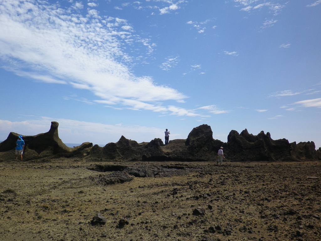
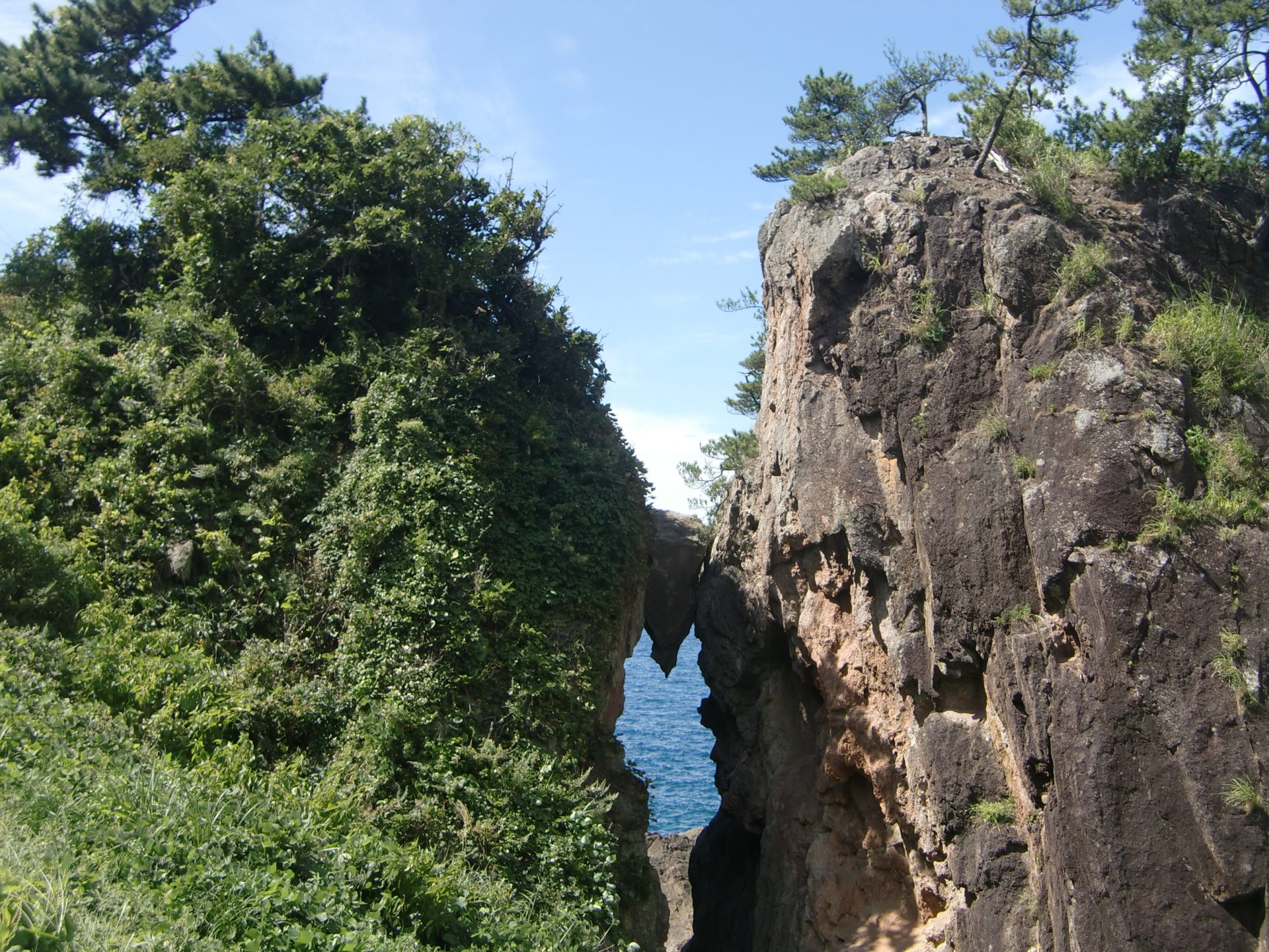
6Kuguri iwa Rock
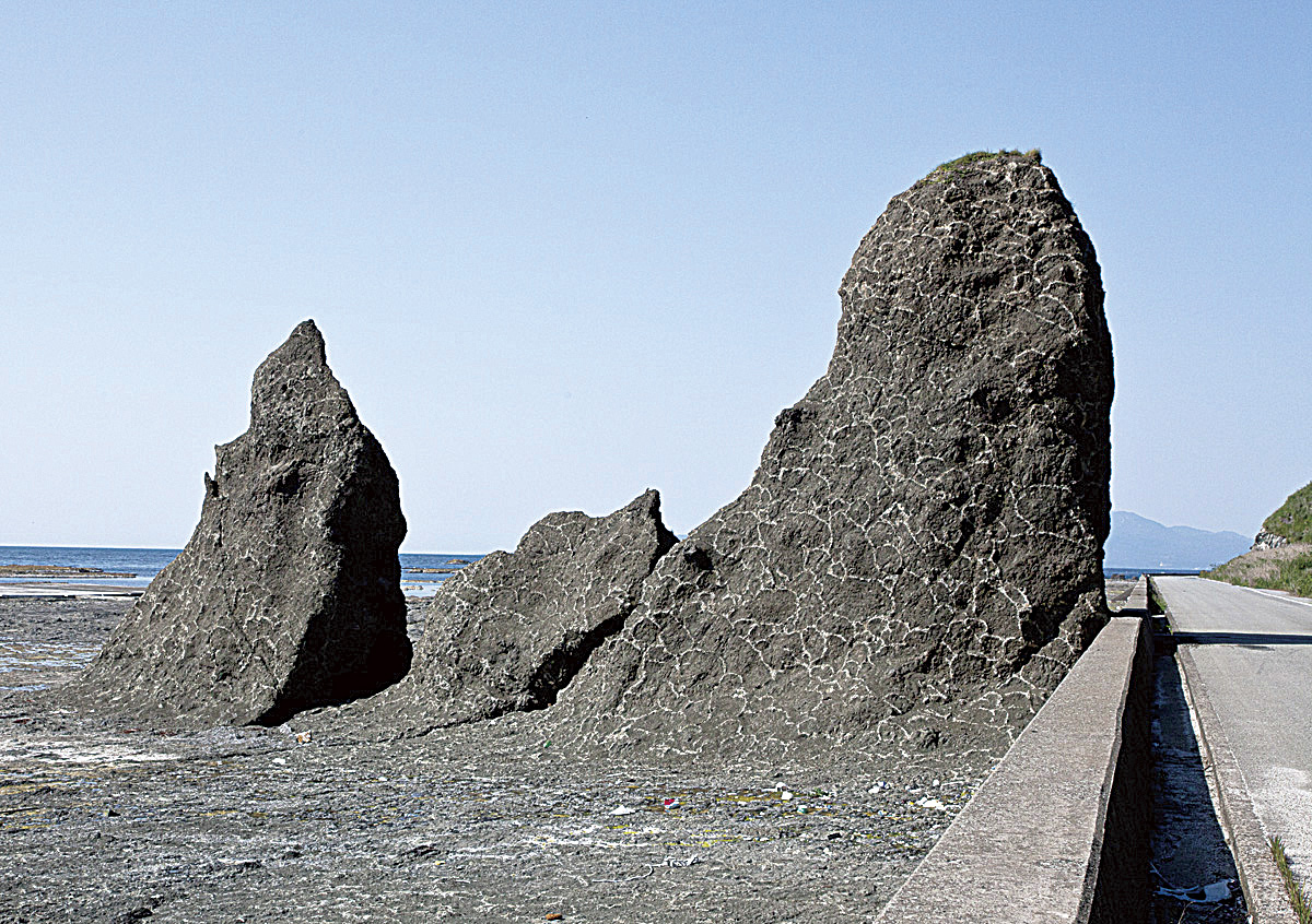
Are those giraffes appearing on a vast uplifted wave-cut platform?
This rock was formed when lava flowed to the seafloor due to undersea volcanic activity long ago, cooled, and hardened. New, hot lava was repeatedly piled on top of the cooled lava, and this process was repeated. It is also called “giraffe iwa rock” because of its white cloud-shaped pattern that makes it look like a giraffe.

Take a stroll in a geopark!

Sado Geopark Promotion Council
Contact
232 Chigusa,Sado,Niigata,952-1292
TEL. +81-259-63-5140
FAX. +81-259-63-5124
mail. sado-geopark@city.sado.niigata.jp
Sado Island Geopark information Center
2nd Floor,Sado Island Development Center,198 Ryotsu Minato,Sado,Niigata,952-8501
TEL. +81-259-27-2162
FAX. +81-259-58-7357
