Itinerary Ideas
We designed itineraries that showcase some of our favorite geosites combined with popular tourist attractions.
We hope they inspire more people to experience all the charm that Sado Geopark has to offer!
- Beginners
- Families
- 1 – 10 people
- 1 – 2 hours
Lake Kamo and Ryotsu Town Mini Walking Course
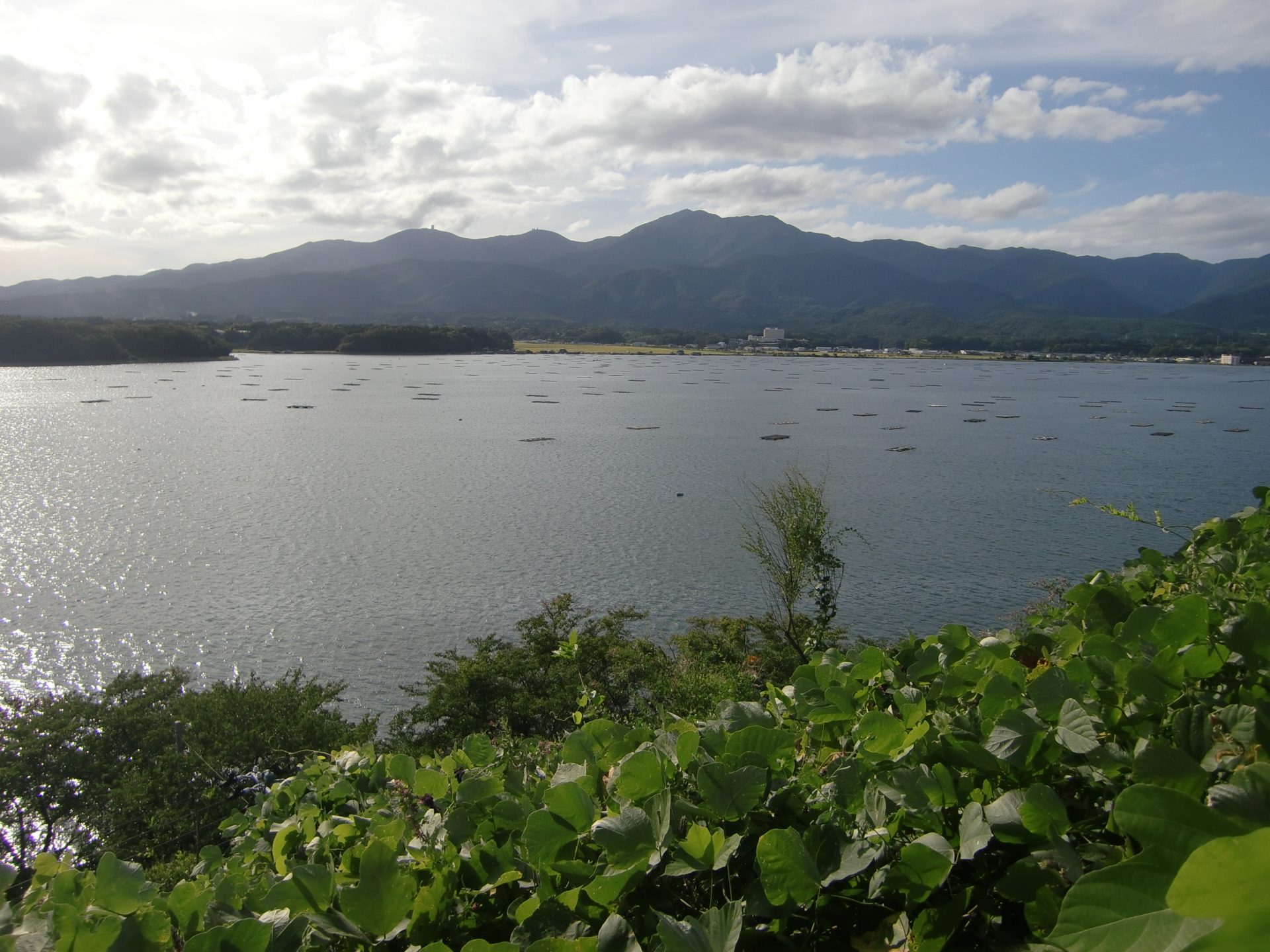
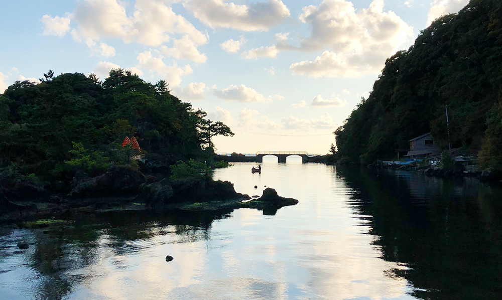
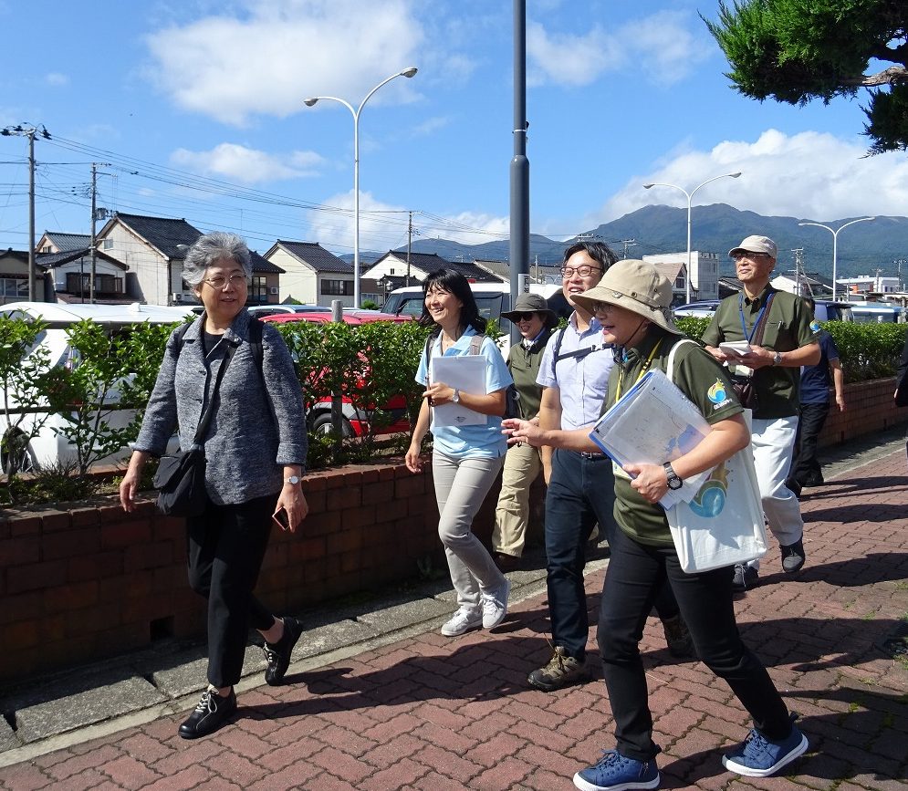
Why not explore Ryotsu town with a Geopark guide for an hour or so before catching your ferry back to the mainland? Ryotsu Minato is a coastal town originally built on reclaimed land. During the short tour, you can enjoy a view of Mt. Kimpoku from the side of the oyster hut lined Lake Kamo, and learn about the long, narrow sand bar that separates the lake from the open sea.
 Geopark Interpretive Panel
  Signs
Signs Bus Stop
Itinerary
- Sado Geopark Information Corner at Minami Futo (South Pier) Building
- 1Sado Kisen Terminal 8th F Observation Deck
- 2Lake Kamo Shore
- 3Minato District
- Sado Geopark Information Corner at Minami Futo (South Pier) Building
Sado Geopark Information Corner at Minami Futo (South Pier) Building
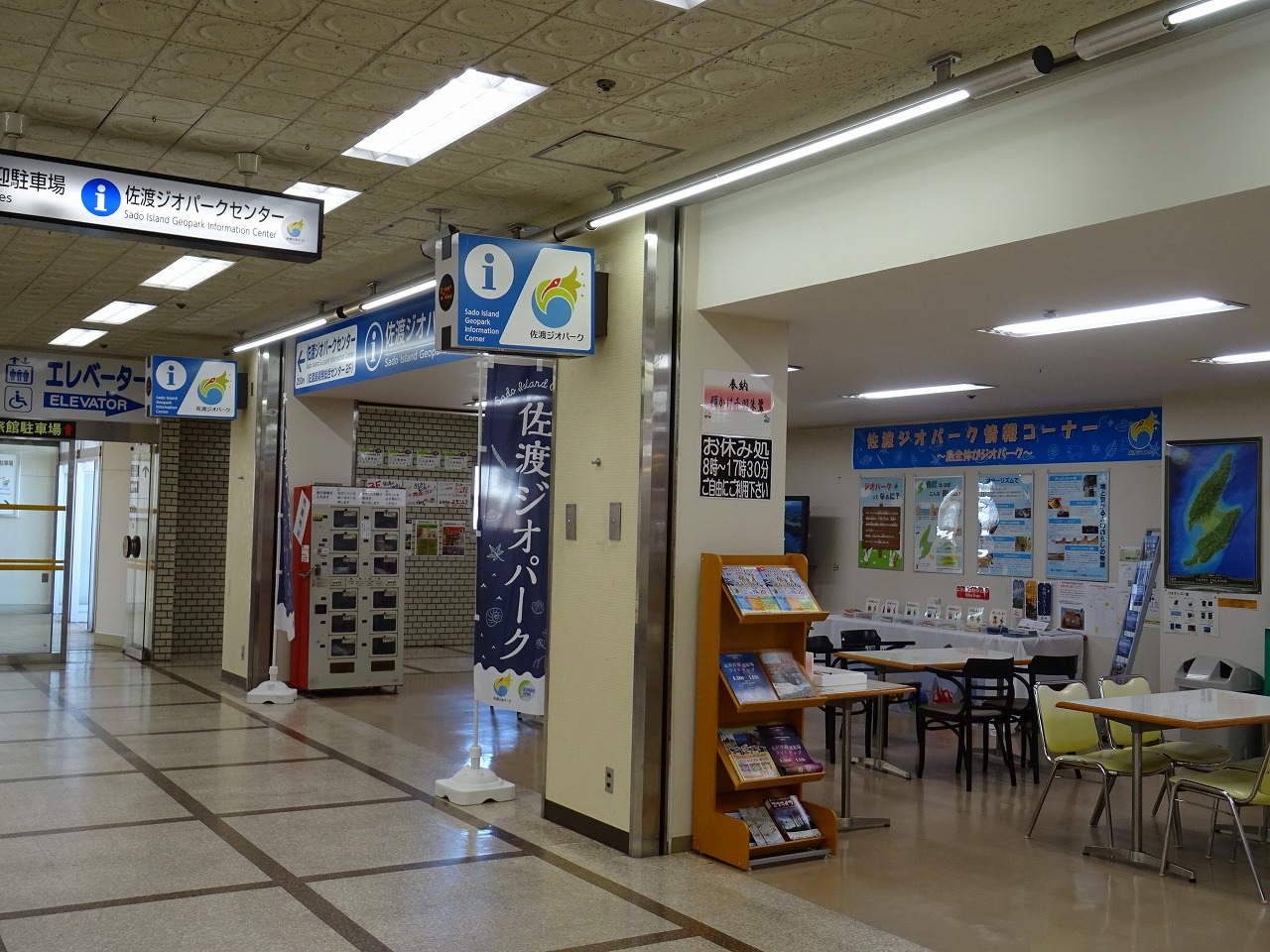
Meeting place with your guide!
Meet with your guide at the “Sado Geopark Information Corner” of the Minami Futo (South Pier) Building! Please follow the Sado Geopark Information Center sign!
Visitors can get some information about Sado Island Geopark here.
1Sado Kisen Terminal 8th F Observation Deck
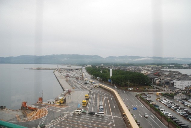
A view of the entire course
Get a view of Lake Kamo and Mt. Kimpoku, from high above the Ryotsu townscape.
2Lake Kamo Shore
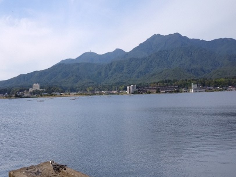
Mt. Kimpoku viewed from the shore of Lake Kamo
Visitors can enjoy a magnificent view of the lake with it’s Oyster rafts and oyster huts, and on a clear day, get a beautiful view of Mt. Kimpoku.
3Minato District

A long and narrow townscape built upon a sand dune
Visitors can get a sense of the long and narrow sand dune which separates Lake Kamo from the sea. They will also learn how the Ryotsu and Minato districts were formed.
From our geo-guide
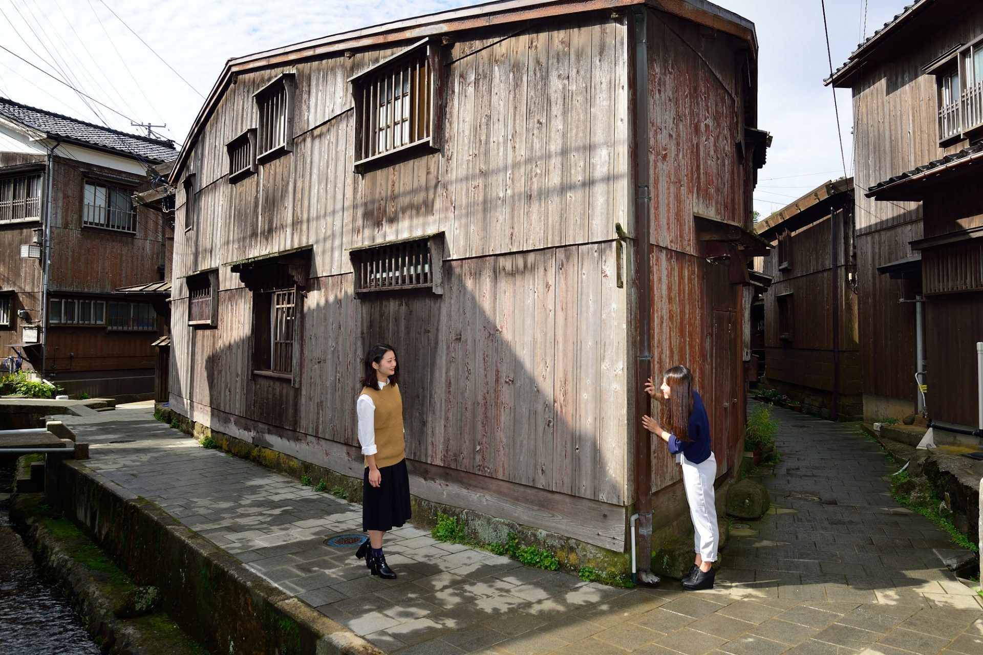
Let's enjoy exchanging information with the guide while walking. It is a short walk, but rich in content. The view from the shore of Lake Kamo changes depending on the season and weather. You will learn how Sado Island was formed, how the sand dune that lies underneath Ryotsu was formed, about the foundation of Ryotsu Town, and more. Relatively old buildings that still remain in the Minato district can be observed.


Take a stroll in a geopark!


Take a stroll in a geopark!

